Use Case · Maritime Security
Coastal 
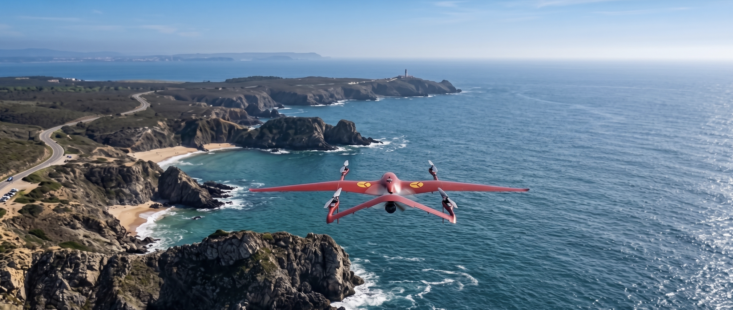
Maritime patrols with long-range VTOL for vessel detection and coordination of search and rescue operations
Maritime patrols with long-range VTOL for vessel detection and coordination of search and rescue operations
Programmed coastal coverage flights with 180-minute endurance, 18 km range with Kite VTOL (extendable up to 150 km with Falziot) and the capability to cover areas difficult to access from shore
Automatic identification of ships and small craft via artificial intelligence, vessel type classification and continuous target tracking
Analysis of routes with anomalous course changes, behaviour pattern classification via AI and automatic alerts for at-risk vessels or illicit activity
Real-time relay of GPS coordinates of vessels in distress, vectoring of rescue resources and operational documentation for subsequent investigations
* LOS (Line of Sight): the drone operates within direct line of sight of the ground control station, with no obstacles between them. The data link has an operational range of up to 18 km from the base station, which defines the maximum mission radius. Beyond that range, real-time communication with the aircraft is lost.
Complete coastal surveillance system implementation for maritime authorities and security agencies